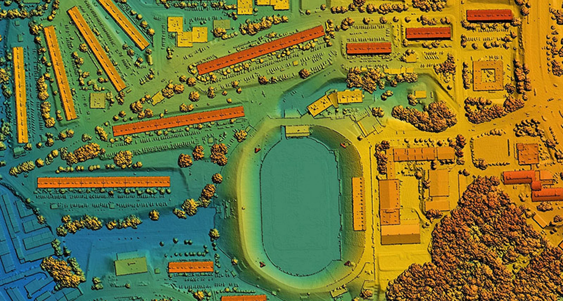
Collaborative partnerships between academia and industry create unique opportunities, real-life experiences and access to resources students might not otherwise have. Recently, Octave’s Begoña Verdejo and Polytechnic University of Madrid’s Professor Iñigo Molina led a collaboration that brought these geospatial education benefits to life for Javier Antón Ortiz, a fourth-year student in the Degree in Engineering of Geospatial Information Technologies program.
Explore Octave’s geospatial education programs
A student’s first step into remote sensing
From October 2024 to February 2025, Ortiz completed an internship with Octave as a training assistant in remote sensing. Entering with fresh eyes, he quickly spotted ways to improve training materials while building his own expertise in geospatial technologies.
His main responsibilities included updating geospatial education training documentation for Octave Imagine (formerly ERDAS IMAGINE) – a leading platform for advanced image processing and geospatial analysis. Ortiz revised course exercises to reflect the latest features, improved existing content and created new videos to showcase the product’s capabilities. These contributions supported Octave’s training initiatives while giving him valuable technical experience.
Bridging academia and industry
Guided by Verdejo’s expert mentorship and Molina’s academic oversight, Ortiz excelled in his role. He also collaborated closely with his Octave mentor, Alain Kabamba, and the whole team, which helped him sharpen his communication, teamwork and professional skills.
Reflecting on his experience, Ortiz shared, “I had the opportunity to work in the labor environment with a leading company in the sector, Octave. This was my first experience not only in the field of geospatial technologies, but also in the work environment. I couldn’t be happier and prouder, besides being grateful to my tutor, Alain Kabamba, and the rest of my colleagues with whom I had the chance to work. I have not only discovered the Imagine software in greater depth at Octave, but I am also convinced that I have grown in discipline and commitment, feeling like a part of this great company.”
Shaping the future of geospatial professionals
This internship was a significant milestone for Ortiz – bridging classroom learning with real-world application. His contributions advanced Octave’s training programs while preparing him to take on future challenges in the geospatial industry with confidence.
The success of this collaboration highlights the importance of curricular partnerships between academia and industry, where students gain practical skills and companies benefit from fresh perspectives. Now, Javier Antón Ortiz is well on his way to becoming a skilled professional in remote sensing and geospatial technologies.