Strengthen C6ISR systems with trusted geospatial intelligence
Overview
Connect geospatial intelligence (GEOINT) and ISR to command operations
Why Octave
The intelligence backbone for faster decisions
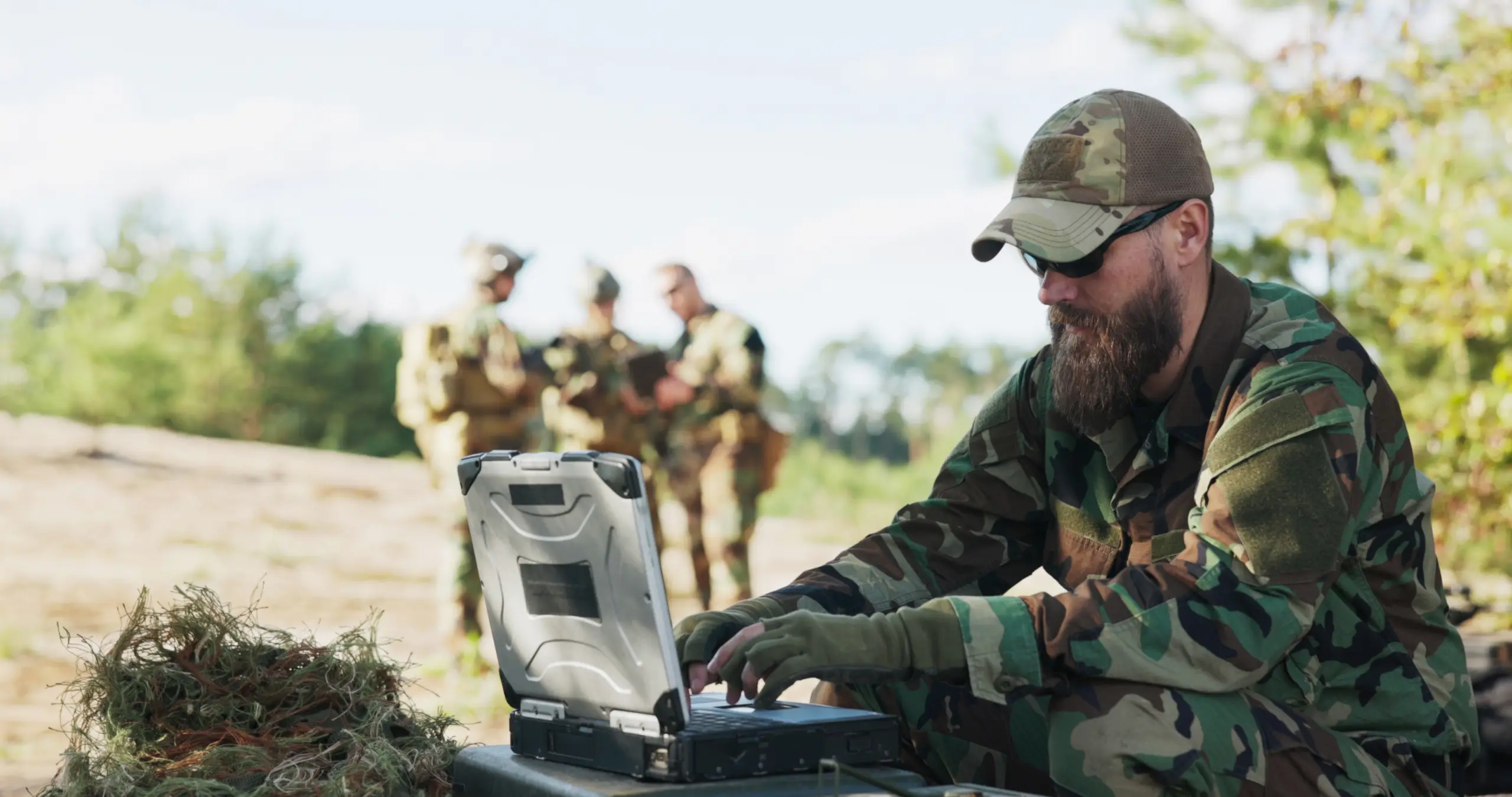
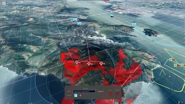
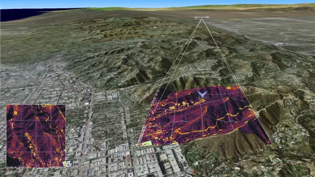
Octave provides the geospatial and intelligence backbone for modern C6ISR architectures. Our technologies integrate ISR, GEOINT, mapping, visualization and cyber insights into common operational environments, helping defence organizations and systems integrators improve situational awareness, accelerate decision-making and support multi-domain operations (MDO).
Solutions
Build the backbone for modern C6ISR
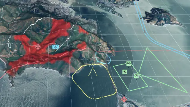
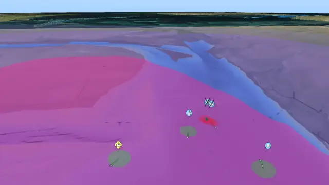
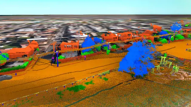
Octave technologies help systems integrators and defence organizations build the geospatial and intelligence backbone of C6ISR architectures. Connect ISR, GEOINT, mapping, visualization and cyber insights in a common operational environment that supports situational awareness, faster decision-making and MDO.

Resources
Explore technology for modern C6ISR

What is C6ISR?
Does Octave provide a complete C6ISR system?
How does Octave support C6ISR architectures?
What role does GEOINT play in C6ISR?
How does Octave support ISR integration?
How does C6ISR support multi-domain operations?
Can Octave technologies integrate with existing systems?
Which Octave technologies support C6ISR?
Related industry
Defence
Defence solutions for mission-critical clarity and control.