Octave GeoMedia GIS software
Formerly GeoMedia, this powerful GIS software integrates, analyzes and manages complex geospatial data in one unified environment.
Advanced analysis for complex geospatial workflows
From complex data to reliable decisions
GeoMedia enables GIS specialists to integrate, validate and analyze complex geospatial data from multiple sources in one environment. With powerful analysis tools and dynamic workflows, GeoMedia can turn large and evolving datasets into reliable insight for planning, operations and decision-making.
Power your GIS workflows
GeoMedia delivers comprehensive tools for processing data, visualization, analysis and collaboration. From 2D and 3D mapping to advanced spatial analysis and seamless data sharing, GeoMedia helps you unlock the full potential of your geospatial data with precision, speed and efficiency.
Integrated data connectivity
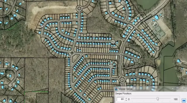
GeoMedia allows you to connect to databases, GIS data sources and web services without complex data conversion. Work directly with existing data sources to speed up setup and reduce effort.
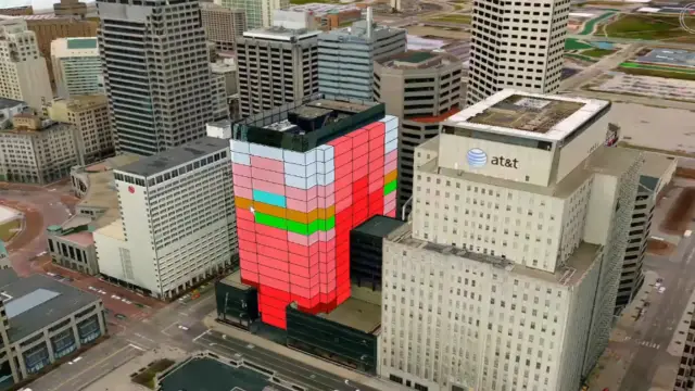
Advanced spatial analysis tools
GeoMedia lets you analyze relationships, networks and patterns using powerful GIS capabilities. Turn complex geospatial data into clear insight for planning and operations.
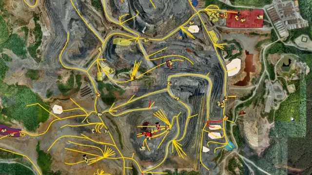
Dynamic real-time data updates
GeoMedia enables you to work with up-to-date data as changes are reflected instantly in your analysis. Ensure results stay accurate without repeating workflows.
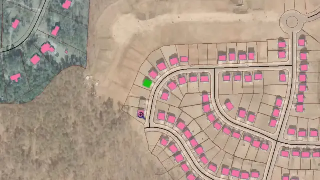
Flexible data modeling and validation
GeoMedia facilitates the validation, structuring and management of data according to organizational rules. Maintain high-quality datasets across complex geospatial environments.
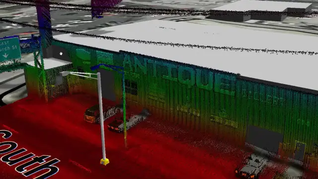
Interactive 2D and 3D visualization
GeoMedia allows you to create maps and visualizations to explore and communicate spatial data. Present results clearly for technical and non-technical audiences.
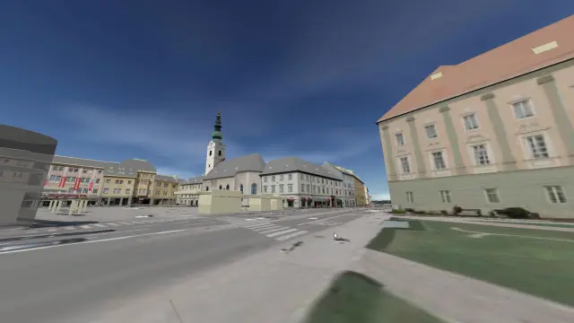
Seamless workflow integration
GeoMedia enables you to prepare and publish data to use in WebGIS applications. Enable a smooth transition from desktop analysis to organizationwide access.
GeoMedia in action

The solution has transitioned from fragmented legacy workflows to a fully integrated, role-based GIS environment, ensuring end-to-end data integrity, regulatory compliance and operational transparency.
The solution has transitioned from fragmented legacy workflows to a fully integrated, role-based GIS environment, ensuring end-to-end data integrity, regulatory compliance and operational transparency.
Explore GeoMedia

We're here to help
Get the help you need with direct access to support and resources.
Extend and enhance your GeoMedia workflows
GeoMedia is available in Essentials, Advantage and Professional tiers, allowing organizations to scale from core GIS to advanced enterprise workflows. Additional extensions support specialized use cases such as transportation management, cartographic production and photogrammetry workflows, helping organizations tailor GeoMedia to operational requirements.
GeoMedia Mapping Manager enhances cartography with Map Publisher and Feature Cartographer.
GeoMedia Transportation Manager lets agencies model, analyze and maintain linear transport networks.
GeoMedia Objects gives developers advanced GIS and cartographic tools for custom applications.
GeoMedia Advanced Collection optimizes high-volume vector data capture and validation for MGCP and international mapping.
GeoMedia GI Toolkit adds productivity tools to GeoMedia Professional for faster data collection, integration and mapping.
GeoMedia PDF creates intelligent, georeferenced PDF files directly from map sheets in your layout window.
Spatial Modeler SDK is a C++ toolkit for building, modifying and running workflows on geospatial data.