MITNETZ STROM is the largest regional distribution system operator in eastern Germany, managing an electricity distribution grid that covers approximately 29,500 square kilometers and supplies more than 2.1 million people across Brandenburg, Saxony Anhalt, Saxony and Thuringia. As renewable generation, electromobility and changing energy demands reshape the grid, decisions about infrastructure, routes and supply security increasingly depend on timely, accurate geospatial data.
Historically, MITNETZ STROM procured data such as parcels, buildings, land use and addresses from different sources, with information manually processed and managed across organizational silos. This decentralized approach to geospatial data created challenges across the organization. Data from different sources had to be procured, processed and maintained separately, contributing to longer planning cycles, redundant work and the risk of teams working with outdated information.

With the switch to Data as a Service, we have not only optimized processes, but we have also fundamentally strengthened our operational capability.
With the switch to Data as a Service, we have not only optimized processes, but we have also fundamentally strengthened our operational capability.
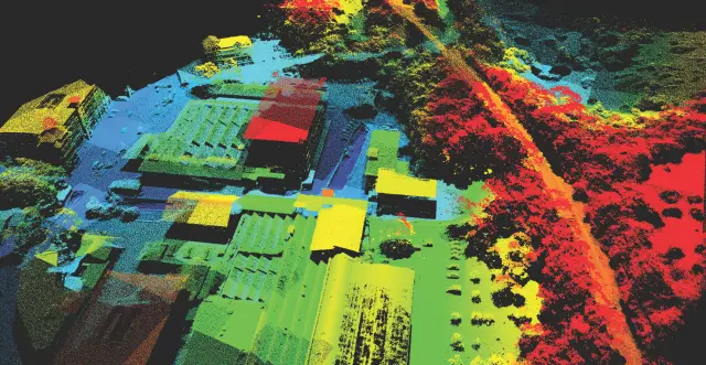
MITNETZ STROM transitioned to a centralized geospatial Data as a Service (DaaS) model that provides teams with continuously updated, quality-assured data across planning, construction and operations. Octave provides access to the geodata foundation through specialized data services and portals. Information including aerial imagery, topography, parcel, building and address data, traffic, environmental and land use is brought together and made available on demand across the organization.
This centralized approach gives teams a consistent source of geospatial information to support decisions throughout the infrastructure lifecycle. Planners can evaluate potential routes and locations for substations and overhead line pylons, construction teams can access the same maps and data in the field and operations teams can use updated environmental, vegetation and other information to identify risks and prioritize maintenance activities. The move to DaaS has delivered measurable operational benefits, with MITNETZ STROM reporting hundreds of work hours per year saved, as well as significantly shortened planning cycles and reduced IT and operational costs.