Octave Imagine remote sensing software
Formerly ERDAS IMAGINE, the world's most widely used remote sensing software package is purpose-built to empower geographic imaging professionals with the tools needed to tackle geospatial data processing.
Where data becomes insight — and insight becomes impact
Faster results are on their way
With Imagine (formerly ERDAS IMAGINE), remote sensing becomes results. Transform imagery into insight. Move from complex geospatial data to confident decisions, faster and with greater precision. Designed to meet the demands of modern professionals, Imagine combines advanced image processing, analysis and visualization tools into one powerful platform.
Expansive analysis and automation capabilities

Robust image processing capabilities
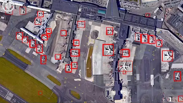
Access a powerful suite of image processing tools, featuring advanced algorithms for image classification, change detection and object-based image analysis.

Powerful geospatial analysis
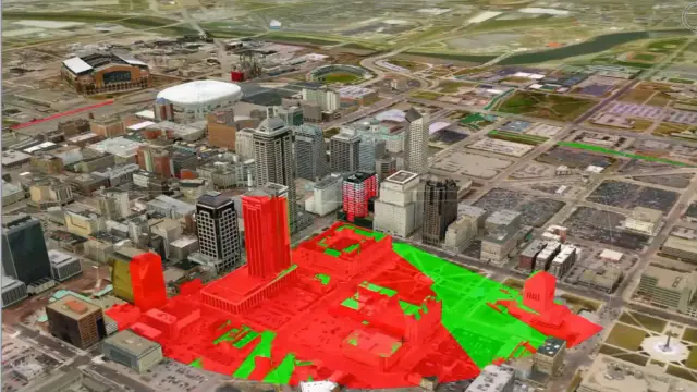
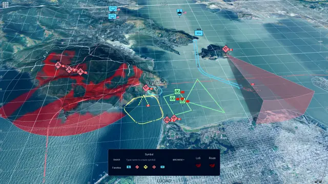
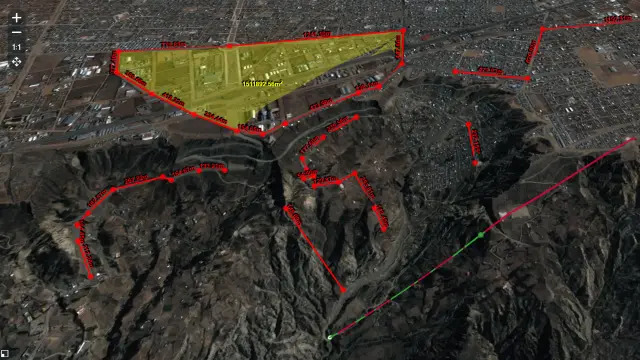
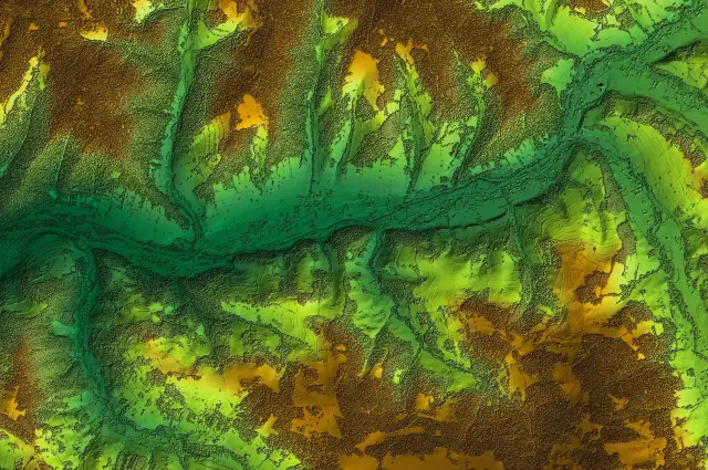
Unlock a versatile set of geospatial analysis tools designed for terrain analysis, surface modeling and immersive 3D visualization.

Efficient workflows
Enhance productivity and save time with the software's intuitive interface and automation capabilities, streamlining your workflows effortlessly.

Extensive support for diverse data formats
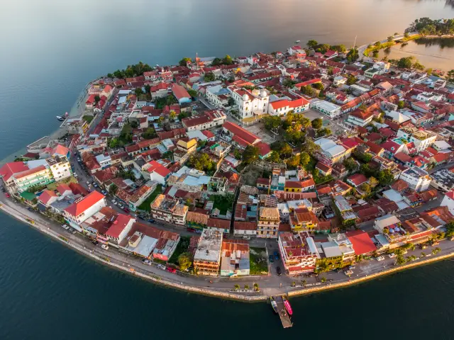
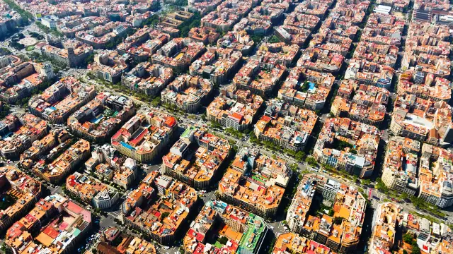
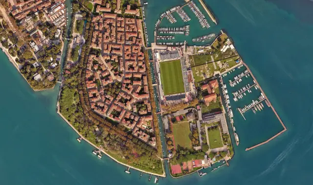
Work with a wide variety of data formats, including satellite imagery, aerial photography, LiDAR and more.

Active community and support
Benefit from a robust community of users and Octave's dedicated support team, offering invaluable resources and assistance.
Interoperability with other Octave products
Imagine integrates seamlessly with other Octave geospatial products, delivering a comprehensive and efficient geospatial workflow.
Explore the Imagine portfolio
Imagine is the world’s most widely used remote sensing software. Multiple add-ons are available. The portfolio includes solutions like Octave Imagine Web for imagery exploitation in defence; Octave Pro600 for production mapping optimization; Octave ECW Compression and Octave GeoCompressor for advanced image and point cloud compression; and Octave Spatial Modeler for no-code geospatial workflows with AI and automation.
Extend Imagine with add-ons
Tailor Imagine to your workflows with proven add-ons. From high-accuracy photogrammetry and dense surface extraction to radar analytics, 3D visualization and low-code automation, each module plugs in seamlessly so you deliver results faster, without switching tools or rebuilding data flows.
Imagine Photogrammetry offre une triangulation rapide et précise, ainsi que des orthorectifications nettes pour l’imagerie.
Objectif Imagine identifie et extrait automatiquement des éléments comme les bâtiments, les routes et la végétation de vos images.
Imagine SAR Interferometry extrait des données précises d’élévation et de mouvement de surface à partir d’images radar multitemporelles.
Extraction de caractéristiques SAR dans Imagine dérive automatiquement des fonctionnalités et des informations à partir de vos données radar.
Imagine DSM Extractor génère des DSM et des DTM denses et précis, avec des contrôles automatisés et des rapports.
Encodeurs MrSID Imagine compresse des fichiers d’images volumineux dans des formats MrSID de haute qualité pour une visualisation rapide et un stockage aisé.
Imagine Expansion Pack ajoute des vues 3D, des outils NITF, la capture stéréo, l’enregistrement et le traitement radar.
Éditeur de terrain Imagine propose des outils interactifs pour modifier et affiner des modèles numériques de terrain directement dans un environnement 3D.
Spatial Modeler SDK enrichit Imagine avec des opérateurs personnalisés, l’automatisation et une modélisation basée sur l’IA.
ATCOR workflow pour Imagine corrige les effets atmosphériques et la brume pour restituer la réflectance réelle des surfaces dans les images satellites.
Imagine Engine augmente la puissance de traitement en répartissant les tâches intensives sur plusieurs cœurs et stations de travail.
Client success stories
Evolve your enterprise


We're here to help
Get the help you need with direct access to support and resources.