Octave GeoMedia 3D
Formerly GeoMedia 3D, this 3D GIS software adds powerful 3D visualization and analysis to your Octave GeoMedia workflows with realistic views.
Smooth 3D GIS software
See data more clearly and make better decisions
GeoMedia 3D extends GeoMedia with integrated 3D visualization and analysis tools. Display, navigate and interact with 3D models, terrain, imagery, rasters, vector data and point clouds in the same map view, achieving a realistic understanding of your environment. Work in 2D or 3D, switching between them without losing context.
More complete view
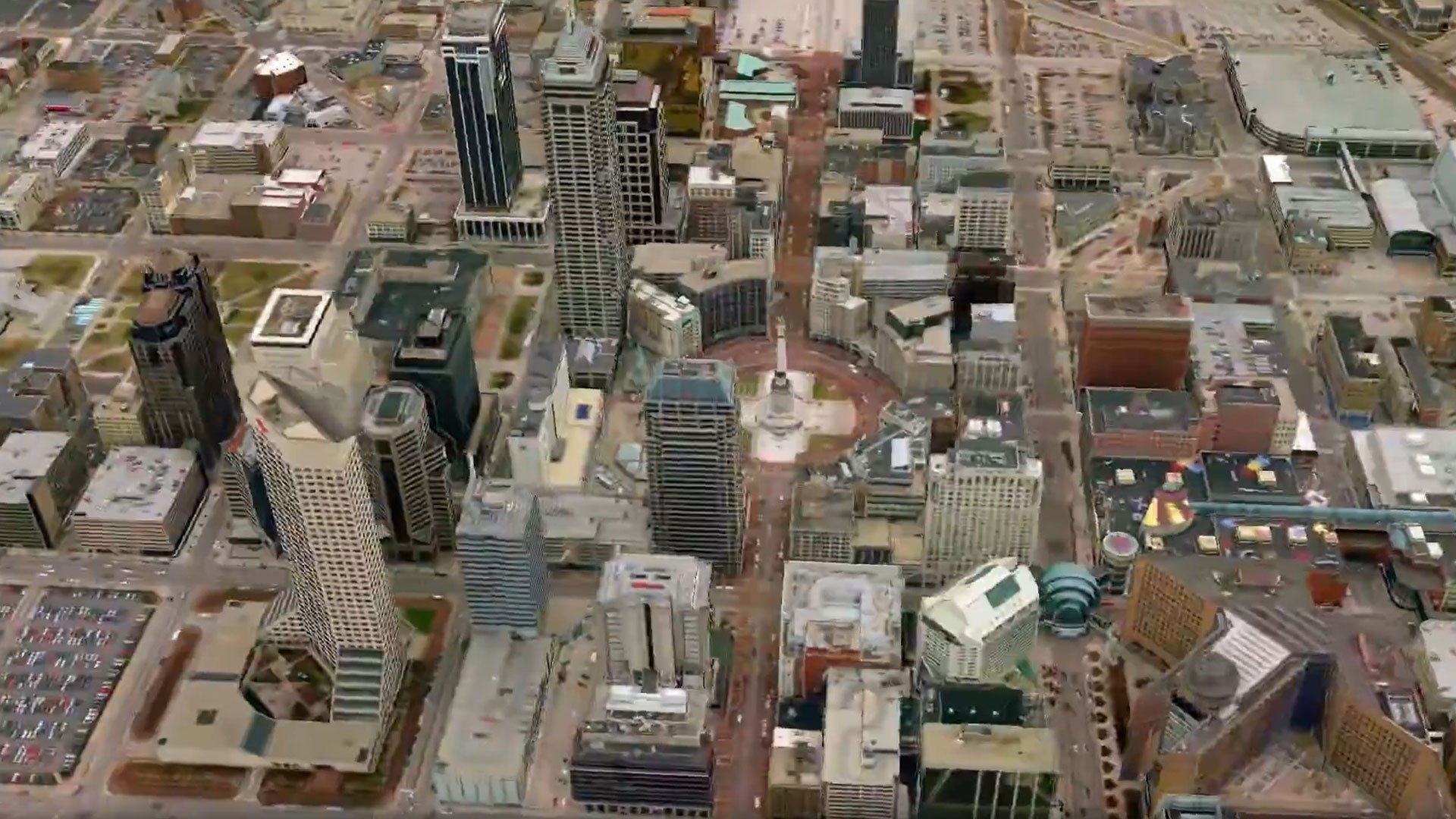
Add depth, realism and context to geospatial data. Use 3D visualizations of terrain, buildings and assets to assess locations, evaluate environmental impacts, plan infrastructure and communicate ideas effectively. Built‑in analysis tools enhance situational awareness and aid planning activities. Supporting point clouds and large urban environments, GeoMedia 3D delivers a more accurate view of the world you manage.
Clearer spatial understanding
GeoMedia 3D integrates directly with GeoMedia, allowing you to work in both 2D and 3D using the same data, styling and queries. Switch views at any time while maintaining full geospatial accuracy and analysis capabilities.
Enhanced data exploration
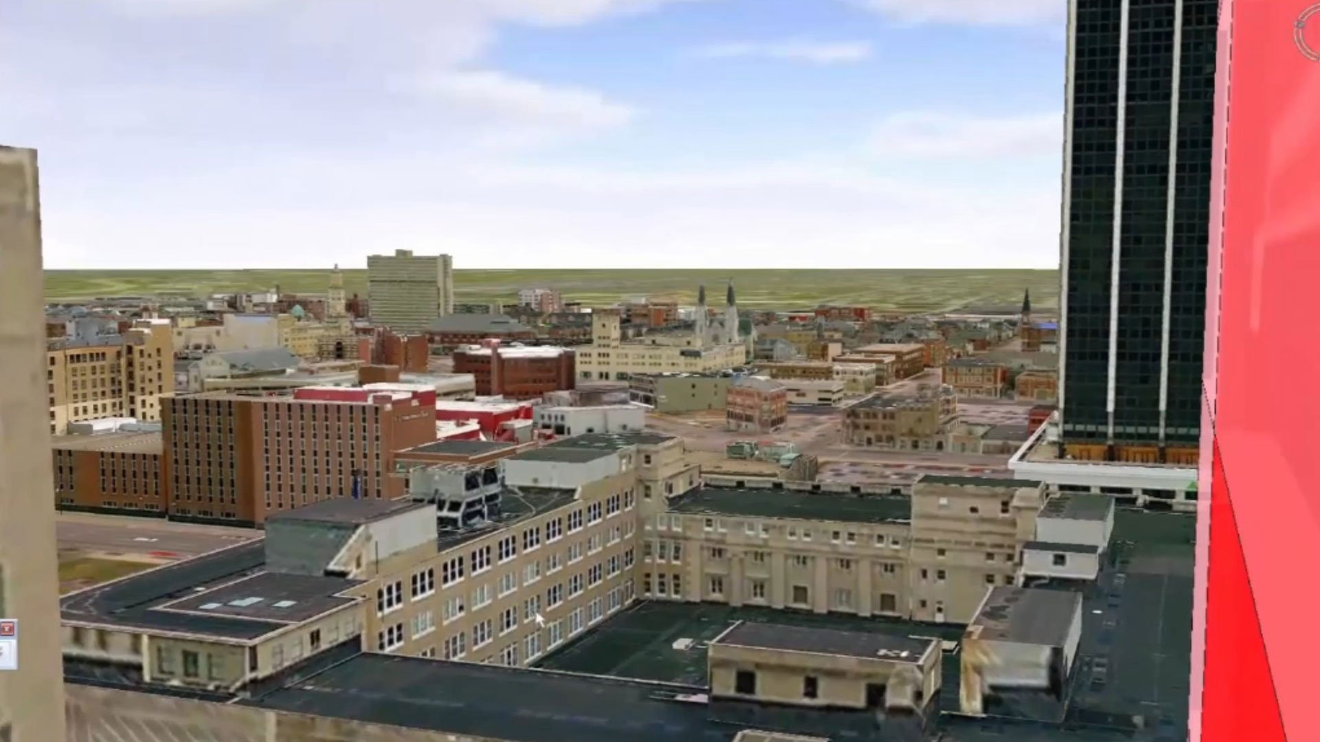
GeoMedia 3D lets you move freely through 3D scenes using intuitive controls, predefined paths and collision detection. First-person mode provides a walkthrough perspective ideal for planning, orientation and situational awareness tasks.
Single georeferenced 3D view
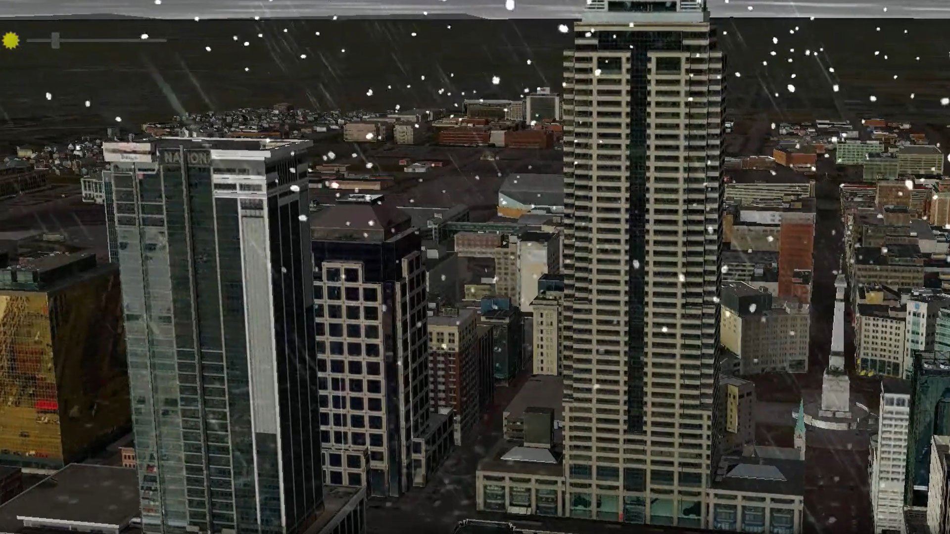
GeoMedia 3D allows you to display 3D models, rasters, vector features, surfaces and point clouds together, and simulate environmental conditions such as sun, fog, rain or cloud coverage. Export high-definition video animations for presentations.
3D planning and situational awareness tools
GeoMedia 3D enables you to perform 3D viewsheds, real-time shadow casting and threat dome analysis to understand visibility, lighting and exposure. Mesh-layer support enhances performance for large, city-scale environments.
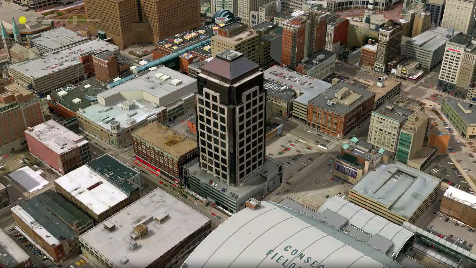
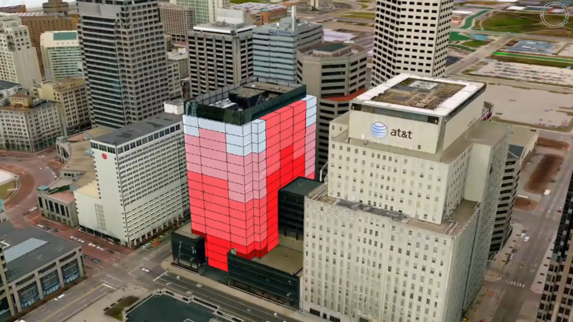
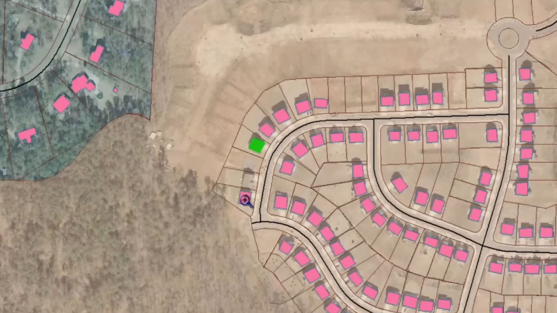
3D city models and attribute-based extrusion
GeoMedia 3D can import pre‑built city models and common 3D file formats and extrude features using height or attribute values to create realistic structures and highlight underlying data characteristics.
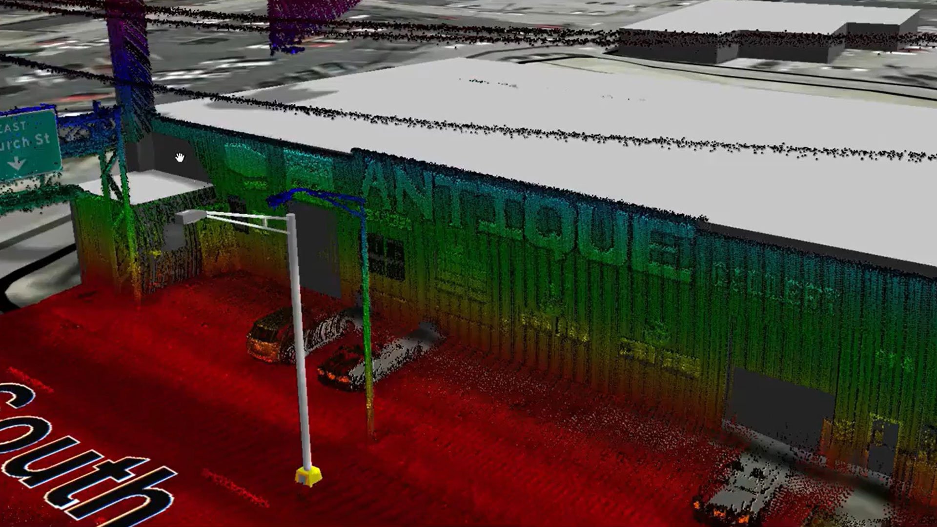
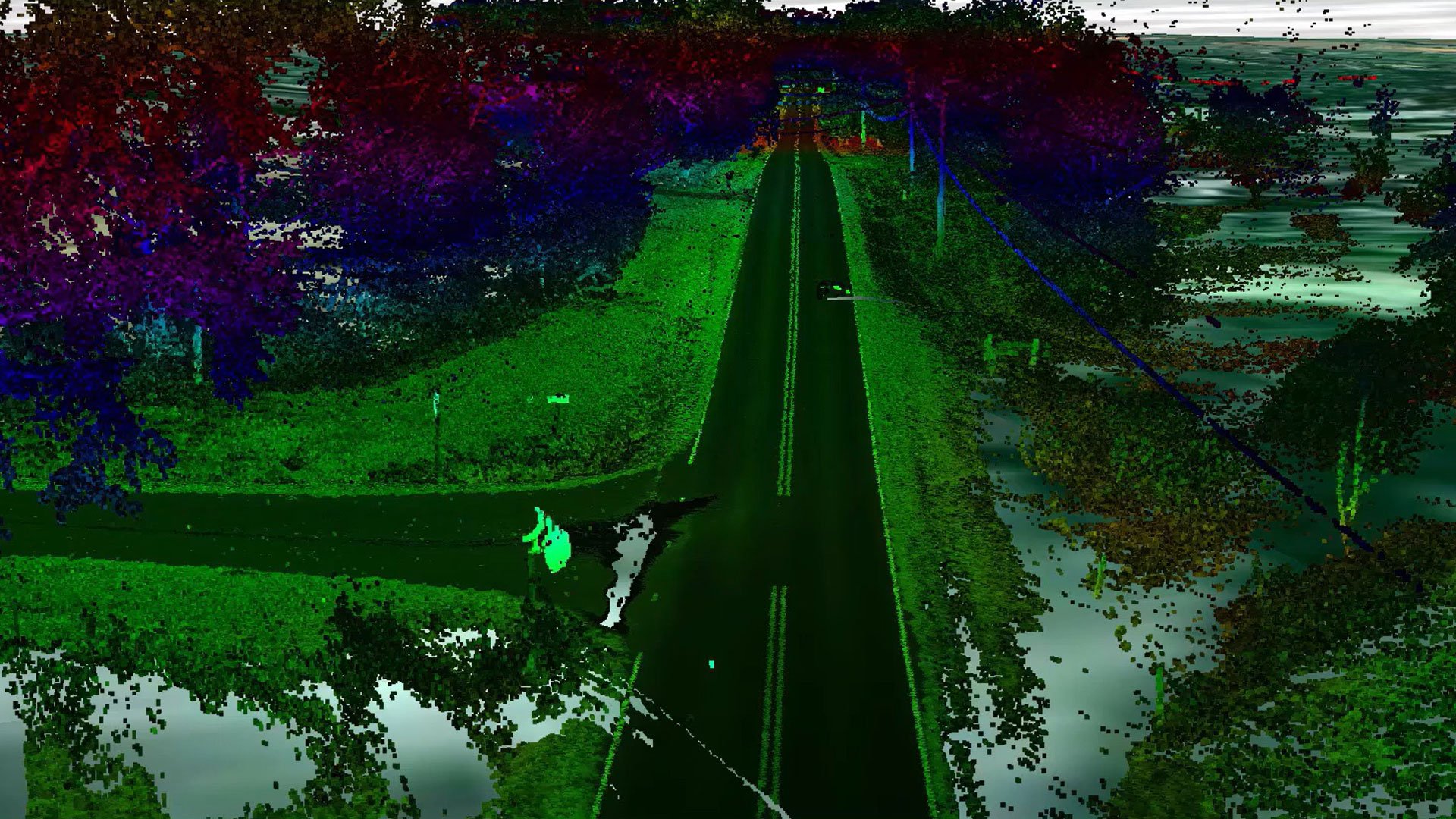
Detailed insights with point clouds
GeoMedia 3D integrates point clouds with imagery and GIS data for precise asset analysis, helping teams inspect features, evaluate terrain and perform more accurate infrastructure assessments.
Explore GeoMedia 3D
We're here to help
Get the help you need with direct access to support and resources.
