The geographic location of Bulgaria places it as a key transportation crossroads to Europe, Asia, and Africa. In Europe, the Danube River forms the northern boundary of Bulgaria. The Black Sea forms the eastern border of Bulgaria, connecting sea transport to Asia and Africa through the Aegean and Mediterranean Seas. The Danube River flows through 10 countries, providing a major water transportation network to Europe. The Danube River is one of the principal rivers feeding into the Black Sea, which links Eastern Europe with world markets.
Because of this important position that Bulgaria holds in the world market, Bulgarian Ports Infrastructure Company wanted to make sure to keep up with technological advances and comply with the principles of the European Union market economy.
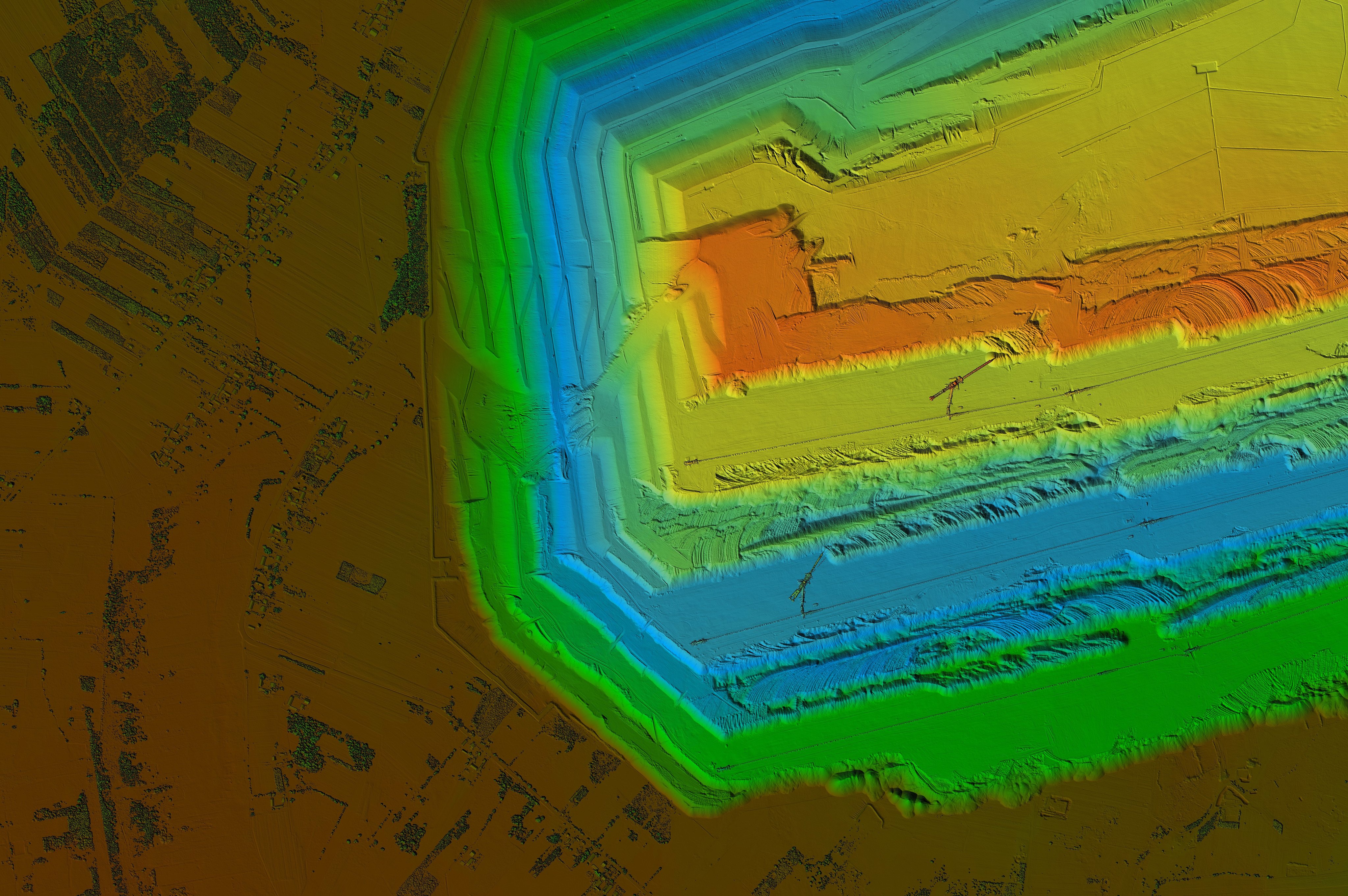
Bulgarian Ports Infrastructure Company needed to collect data from a wide range of data sources, track vessel movements, and perform assessments of activities and assets of the country’s sea and river ports.
Geospatial solutions continue to play a critical role in port and infrastructure management on a global scale. By leveraging and visualizing geospatial data, it is possible to dramatically enhance operations, improve infrastructure conditions, and streamline overall decision-making processes.
Recognizing the power of geographic information systems (GIS) to manage geospatial data, analyze it, and organize layers of information into maps, Bulgarian Ports Infrastructure Company selected GeoMedia® and GeoMedia WebMap as the geospatial framework to design and build a GIS system. Using this GIS system, Bulgarian Ports Infrastructure Company monitors movements of boats and ships on the Danube River, and on other waterways and maritime spaces in the country, including the Bulgarian Black Sea region.