Transform data with geospatial intelligence solutions
Overview
Convert imagery, terrain and sensor data into mission insight
Why Octave
Create intelligence with greater confidence
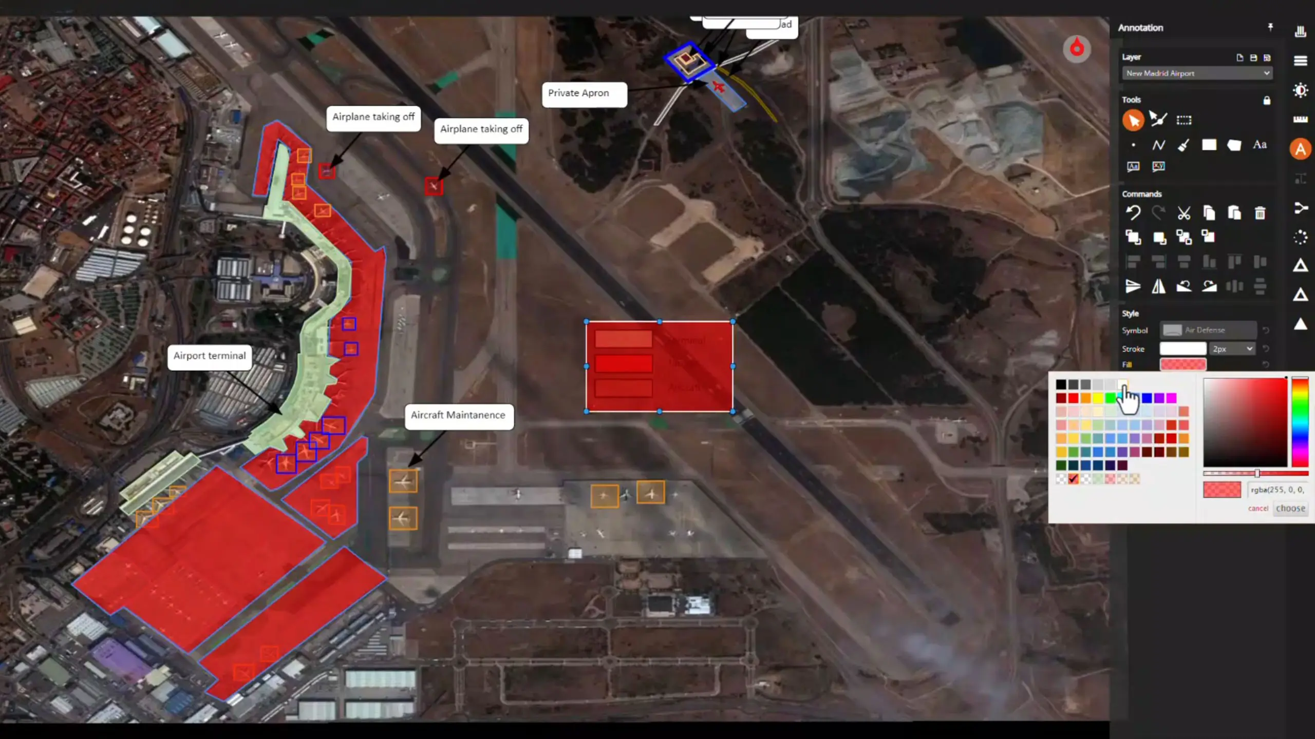
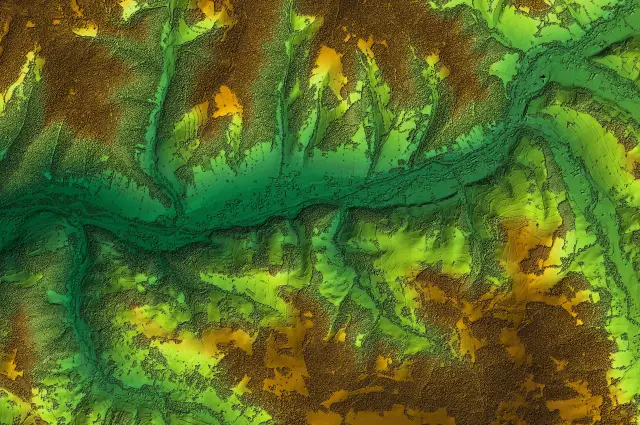
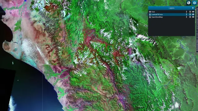
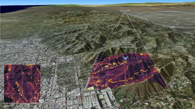
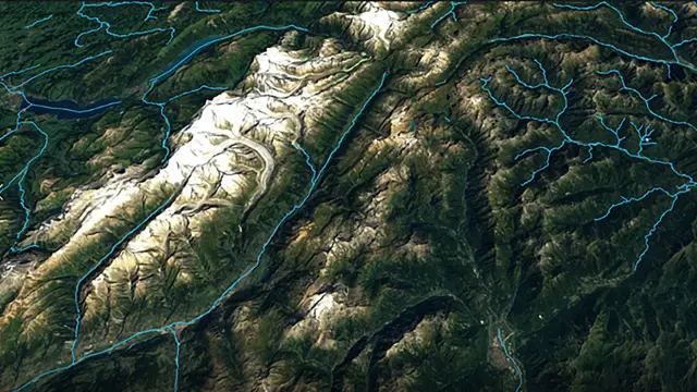
Defence organizations collect vast quantities of imagery, terrain, sensor and geospatial data. Octave helps analysts transform that data into trusted geospatial intelligence (GEOINT), enabling faster understanding of operational environments and more informed decision-making.
Solutions
Create trusted intelligence from complex data
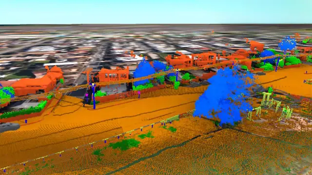
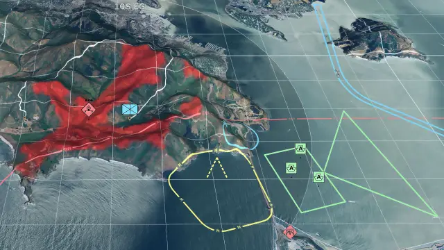
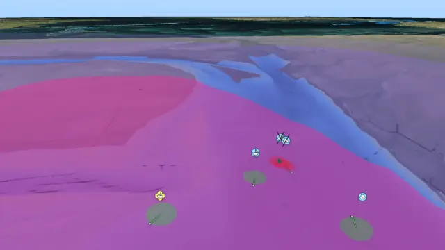
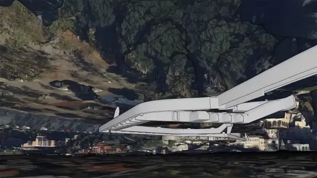
Octave technology helps defence organizations collect, manage, analyze and exploit imagery, terrain and geospatial data. Through advanced and automated GEOINT analytics, data management and geospatial technologies, analysts can generate intelligence that strengthens operational and strategic objectives.
Resources
Explore geospatial intelligence resources
What is GEOINT?
How does Octave technology support GEOINT workflows?
How does GEOINT support defence operations?
Can Octave process large imagery and sensor datasets?
How does Octave support intelligence data management?
How does IMINT fit within GEOINT?
How does Octave technology help turn data into actionable intelligence?
Which Octave solutions are most relevant for GEOINT?
Related industry
Defence
Defence solutions for mission-critical clarity and control.