Octave Alto Lightspeed geospatial analytics software
Formerly LuciadLightspeed, it offers fast 2D/3D/4D geospatial insight and lets you build mission or domain-specific apps for desktop and onboard use.
Fast, accurate geospatial analysis for demanding workflows
See, analyze and act fast on geospatial data
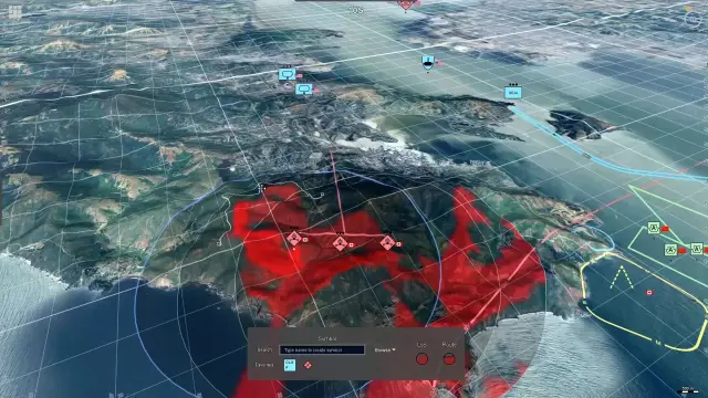
Alto Lightspeed helps teams rapidly develop geospatial situational awareness applications for mission-critical operations. With its modular, open architecture, it allows smooth interaction with large datasets, detailed terrain and real-time tracks. Whether you need mission planning or advanced analytics, Alto Lightspeed delivers the precision and responsiveness required for critical decisions.
Tools for fast, accurate desktop analytics
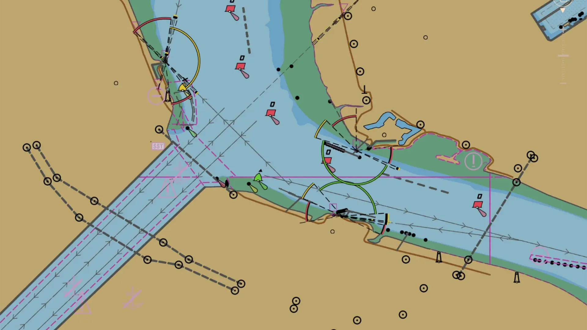
Alto Lightspeed brings smooth 2D, 3D and time-based views to the desktop, so you can combine many data sources, track live activity and analyze terrain or routes with confidence. It connects to 200+ formats, preserves location accuracy worldwide and includes a ready-to-use app, Octave Alto Lucy (formerly Lucy), to get started quickly.
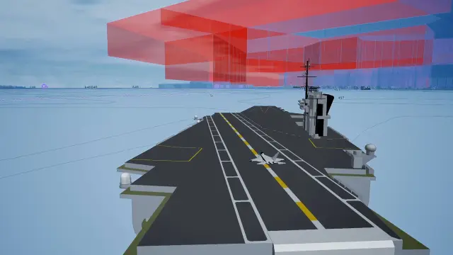
High-performance 2D/3D/4D views for heavy data
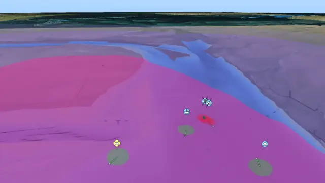
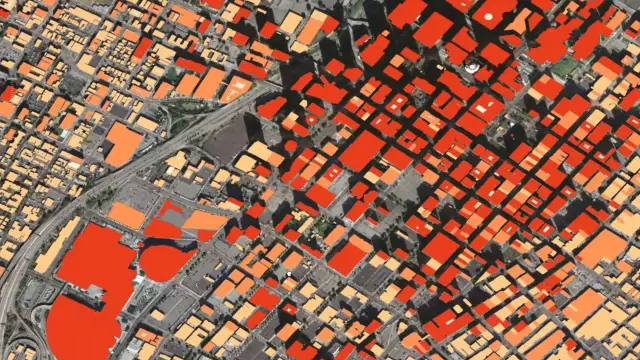
Explore large maps, terrain, imagery and live tracks without lag. GPU-powered rendering and an optimized interaction model keep navigation smooth as you move seamlessly between 2D, 3D and time-based views.
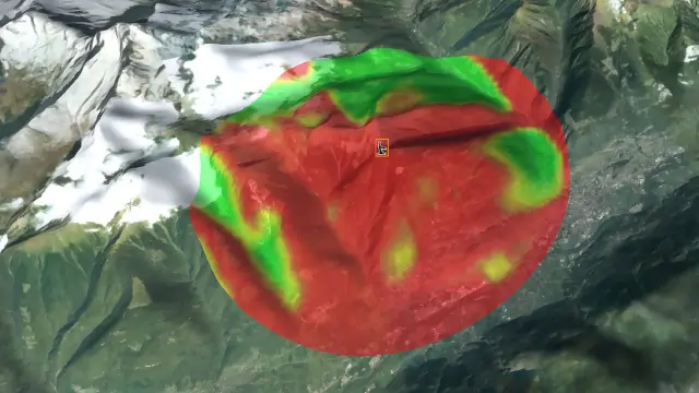
Accurate calculations and worldwide positioning
Trust what you see. Lightspeed performs precise transformations and geodetic calculations across global coordinate systems, so data stays aligned — even in complex projections or polar regions.
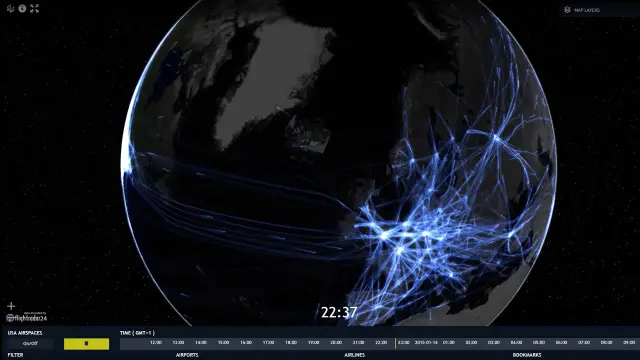
Real-time feeds and replay for operations
Bring in dynamic data-tracks, sensors, radar video and monitor activity as it happens. Play back or simulate scenarios to investigate events, train teams or plan next steps, all in the same view.
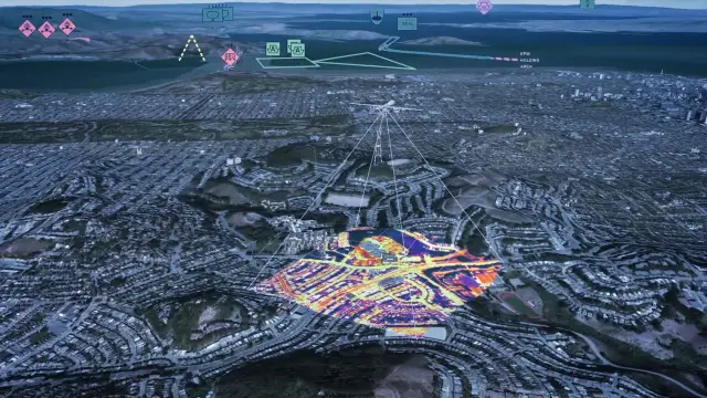
Works with 200+ formats
Alto Lightspeed connects to more than 200 geospatial data formats, from raster and vector files to point clouds, meshes and web services. You can load data directly from local storage, servers or cloud platforms and combine everything in one accurate, high-performance view.
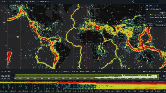
Visual analytics to spot patterns and change
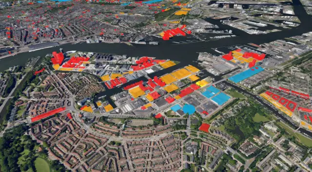
Cluster and filter data, compare layers with swipe and flicker tools and use timelines for 4D insight. Create density maps and slice multidimensional data to reveal trends and anomalies fast.
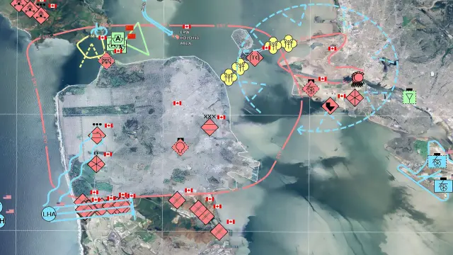
Standards and SDK for mission-specific apps
Build the app you need with a modular SDK and broad standards support — defence symbology, aviation, maritime, weather, infrastructure and more — so teams can work with familiar data and rules.
Case studies
Resources to help you learn and explore
This section brings together helpful materials for anyone working with Alto Lightspeed. Whether you want an overview, technical guidance or deeper insights into key capabilities, these resources offer clear, practical information to support your work.

We're here to help
Get the help you need with direct access to support and resources.