支持
联系我们
  1. Home >
  2. Learn >
  3. White Papers >
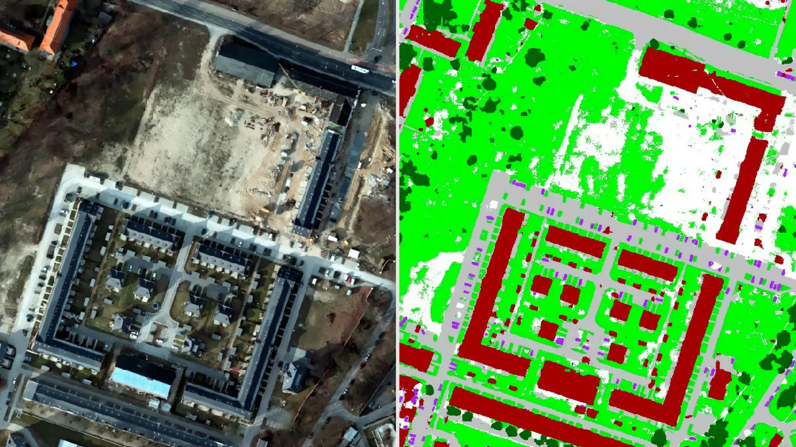
  4. Building detection from aerial and satellite images using semantic segmentation

Building detection from aerial and satellite images using semantic segmentation

View Now
Octave-Imagine-Spatial-Modeler-SDK-Features-Card2-1920x1080

Other content in this stream

Planning smarter: Modernizing government asset management

When a water pipe, road or school bus fails, communities stall. In this paper, Octave experts share how integrated, cloud-based asset lifecycle management helps state and local agencies break down data silos, preserve institutional knowledge and make smarter investment decisions.

Closing the loop on fleet safety

How Octave Attune EAM Mobile Driver Inspections supports risk-based vehicle inspection management for public-sector fleets.

Planning smarter: Modernizing government asset management

When a water pipe, road or school bus fails, communities stall. In this paper, Octave experts share how integrated, cloud-based asset lifecycle management helps state and local agencies break down data silos, preserve institutional knowledge and make smarter investment decisions.

Closing the loop on fleet safety

How Octave Attune EAM Mobile Driver Inspections supports risk-based vehicle inspection management for public-sector fleets.

产品

  • 产品概览

资源中心

  • 资源列表
  • 市场活动

企业信息

  • 关于我们
  • 集团管理层
  • 合作伙伴
  • 招贤纳士
  • Octave Federal

联系我们

  • 商务垂询
  • 客服中心

  • 隐私声明
  • 服务条款
  • 网站地图
  • 版本说明
  • 商业行为与道德准则 (opens in a new tab)
  • 供应商行为准则 (opens in a new tab)

© 2026 Octave Intelligence plc 和/或其子公司及关联公司。 保留所有权利。