Octave ECW Compression
Formerly ECW Compression, this suite, including .ecw format technology, helps organizations efficiently compress, store and stream massive geospatial datasets.
Geospatial imagery compression and delivery suite
Store less, stream faster, scale effortlessly
ECW Compression, based on our proprietary Enhanced Compression Wavelet (ECW) format, helps reduce the cost and complexity of managing huge imagery collections. High compression ratios lower storage requirements by up to 95%, while the ECW Protocol (ECWP) streams high-resolution imagery to thousands of users with minimal latency — even over low bandwidth. It integrates seamlessly with ArcGIS, Octave products and third-party platforms, supporting cloud workflows, OGC standards and mobile.
Handle terabyte-scale imagery
ECW Compression tools are designed to manage, compress and stream large geospatial raster datasets. It includes the ECW SDK for developers, plugins for desktop GIS, the ECWP for streaming and ECW integrations for ArcGIS Server. Together, these components help organizations handle terabyte-scale imagery with dramatically reduced storage needs while maintaining visually lossless quality.
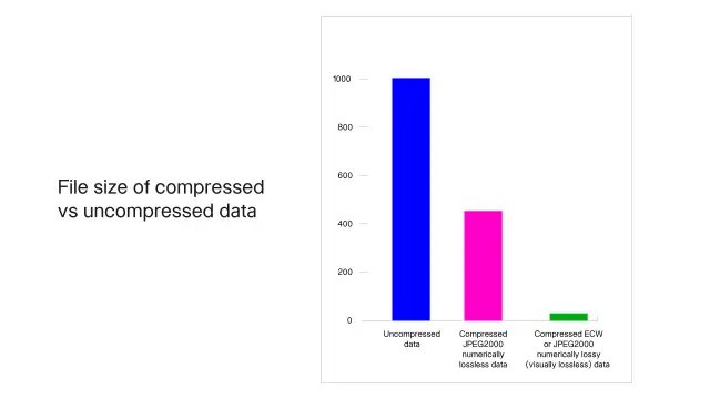
Reduced file sizes up to 95% without visible loss
ECW Compression wavelet-based compression dramatically reduces geospatial imagery size while maintaining visual quality. Organizations can store provincial- or national-scale mosaics in a fraction of the space required by traditional formats.
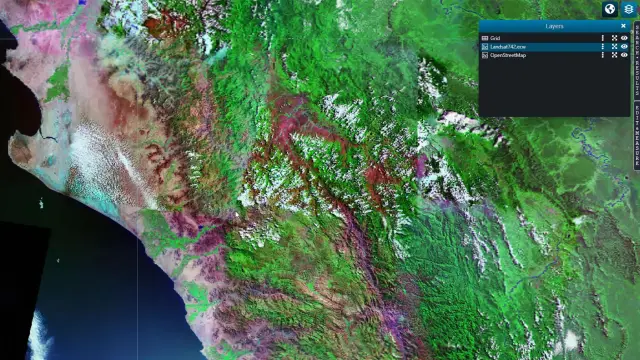
Terabyte-scale imagery delivery
ECW Compression ECWP only sends needed pixels, enabling rapid access and smooth zooming without full downloads and making it ideal for distributed teams, field operations and public-facing services.
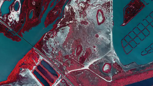
Added compression and streaming
ECW Compression SDK provides APIs for C, C++, Java and mobile platforms, allowing developers to embed ECW compression, decompression and streaming into third-party or custom applications.
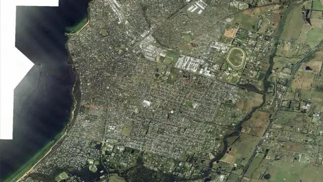
Widely supported, scalable ECW imagery
ECW Compression is broadly adopted across major image servers and storage platforms, as well as desktop, mobile and server GIS applications. It is fully supported across Octave’s geospatial product portfolio.
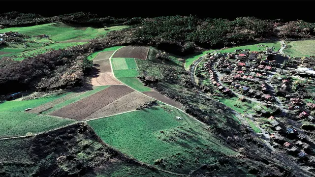
Gigapixel and terapixel mosaics
ECW Compression supports unlimited image sizes and efficient tiled encoding. Its Set-File-View capability delivers only required regions or bands, optimizing both cloud and on-premises data delivery.
Easy integration
ECW Compression retains geospatial metadata including coordinate systems, datums and projections, ensuring compatibility with OGC services like WMS and WCS and seamless integration with GIS applications.
We're here to help
Get the help you need with direct access to support and resources.