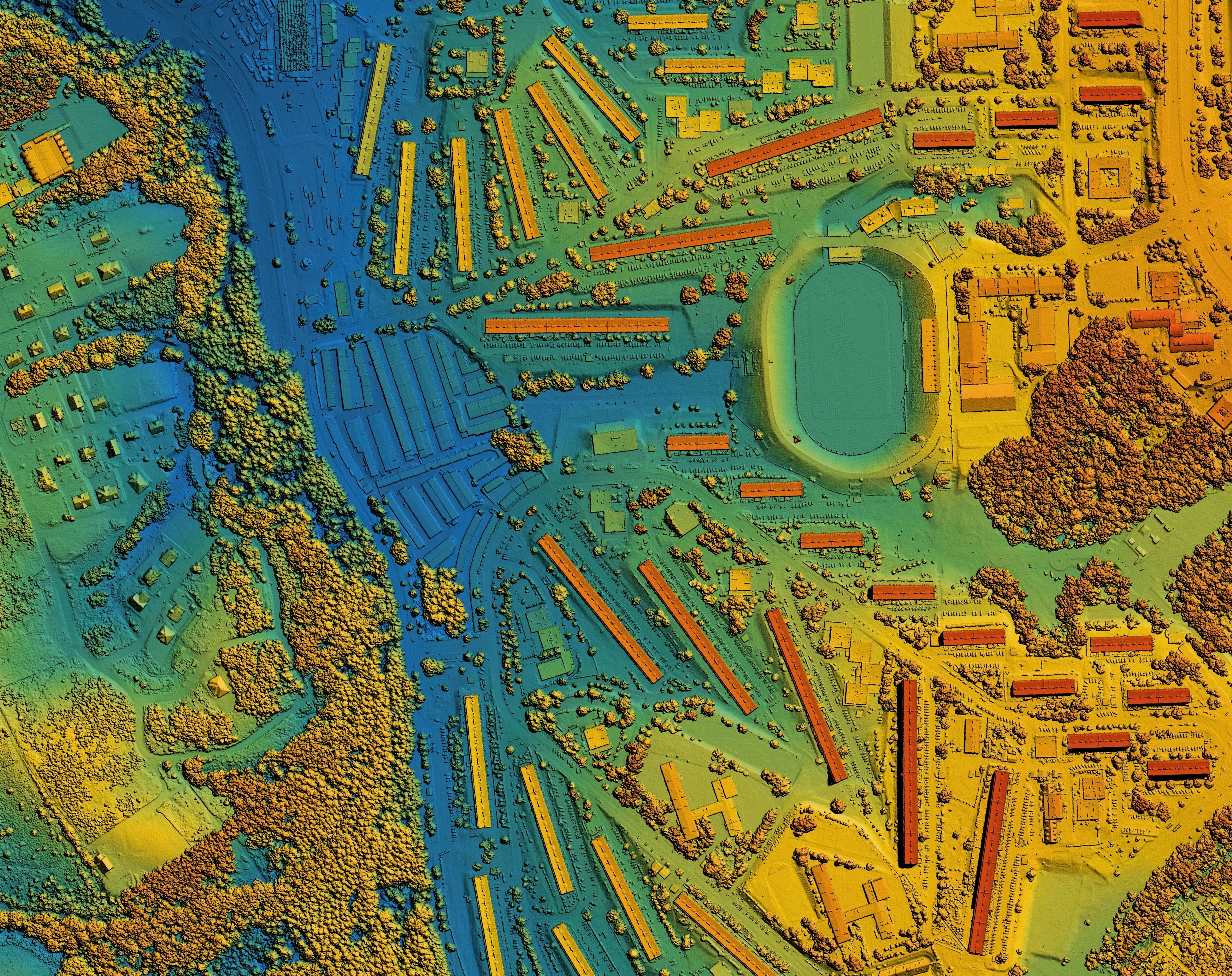
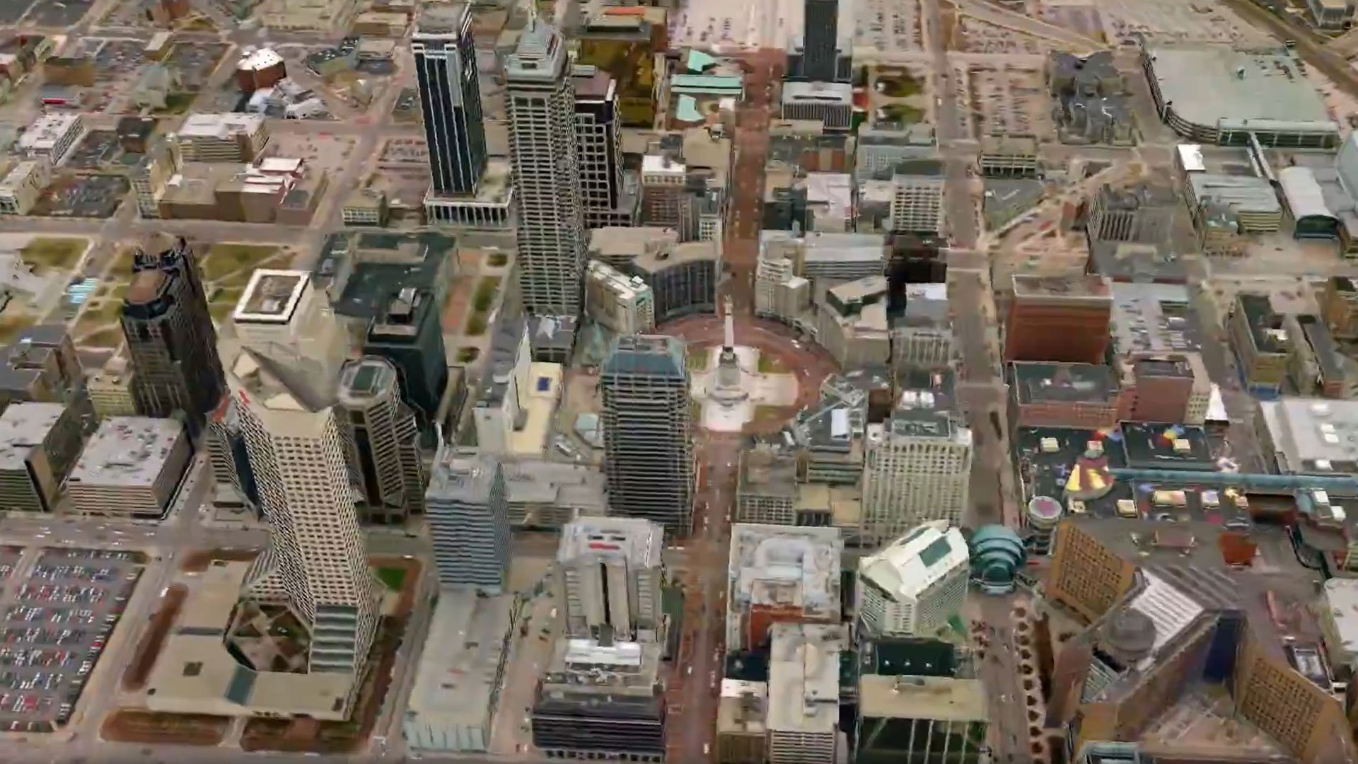
Creating accurate representations of Earth from remotely sensed data
This Octave GeoMedia add-on enables integrated 3D visualization, navigation and analysis of geospatial data.
Leverage Enhanced Compressed Wavelet (ECW), Octave’s proprietary, high-performance file format, to significantly reduce the size of geospatial images.