Octave Imagine remote sensing software
Formerly ERDAS IMAGINE. Purpose-built to empower geographic imaging professionals with the tools needed to tackle geospatial data processing.
Where data becomes insight — and insight becomes impact
Faster results are on their way
With Imagine (formerly ERDAS IMAGINE), remote sensing becomes results. Transform imagery into insight. Move from complex geospatial data to confident decisions, faster and with greater precision. Designed to meet the demands of modern professionals, Imagine combines advanced image processing, analysis and visualization tools into one powerful platform.
Expansive analysis and automation capabilities
Robust image processing capabilities
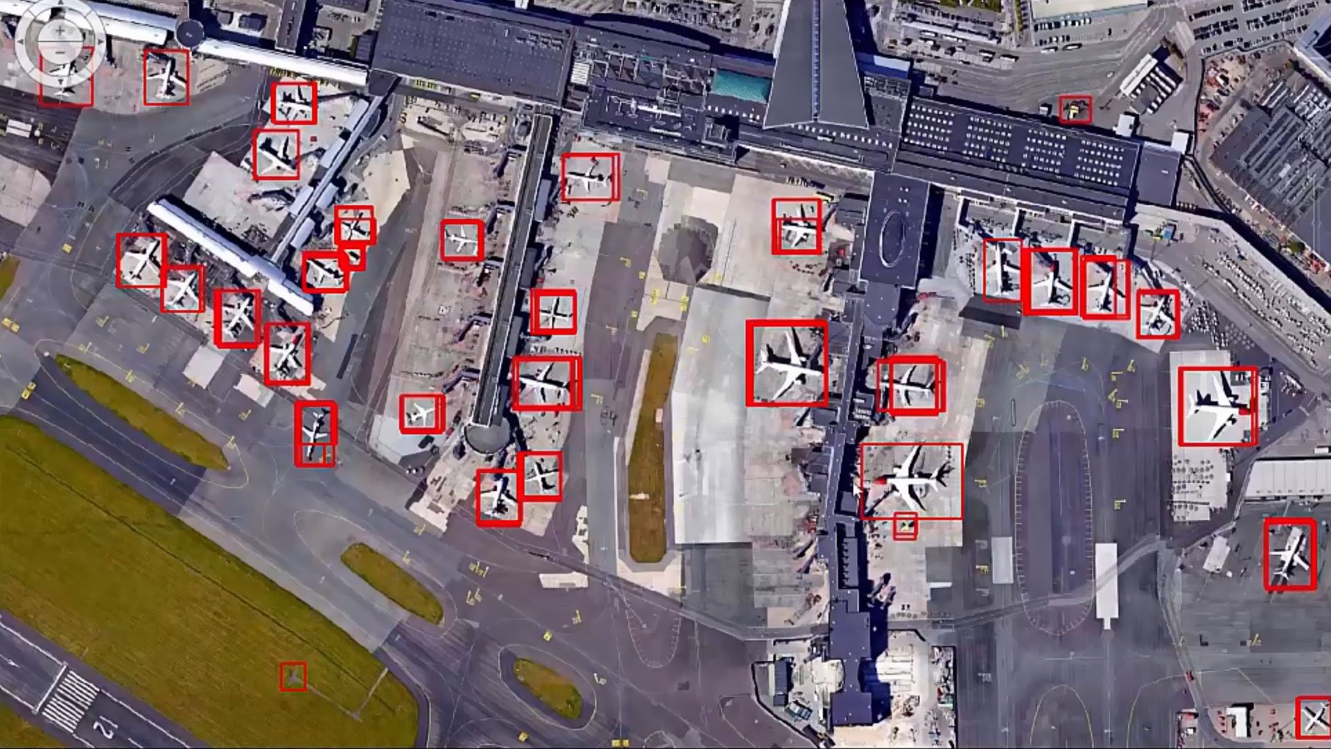
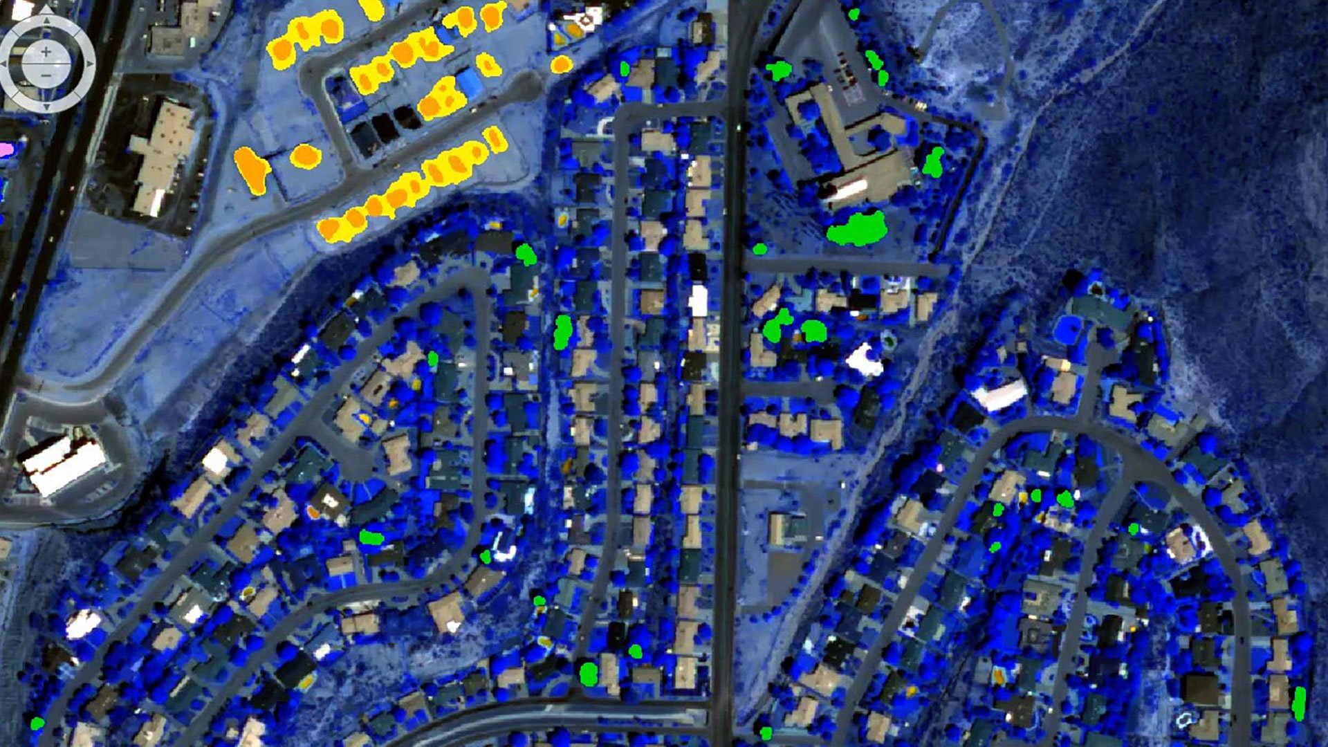
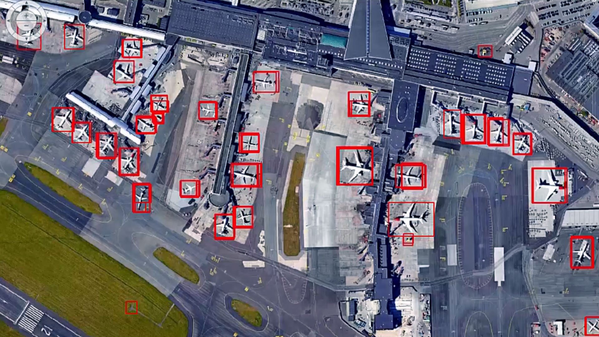
Access a powerful suite of image processing tools, featuring advanced algorithms for image classification, change detection and object-based image analysis.
Powerful geospatial analysis
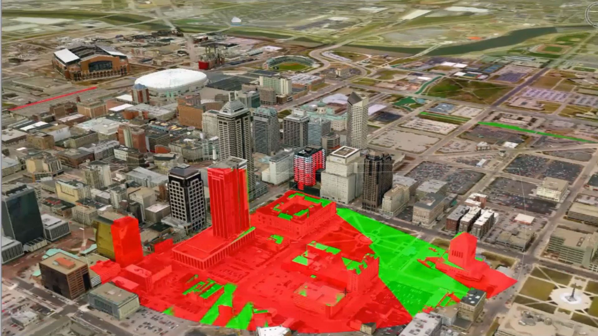
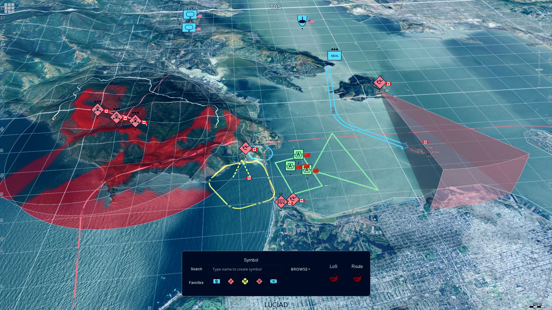
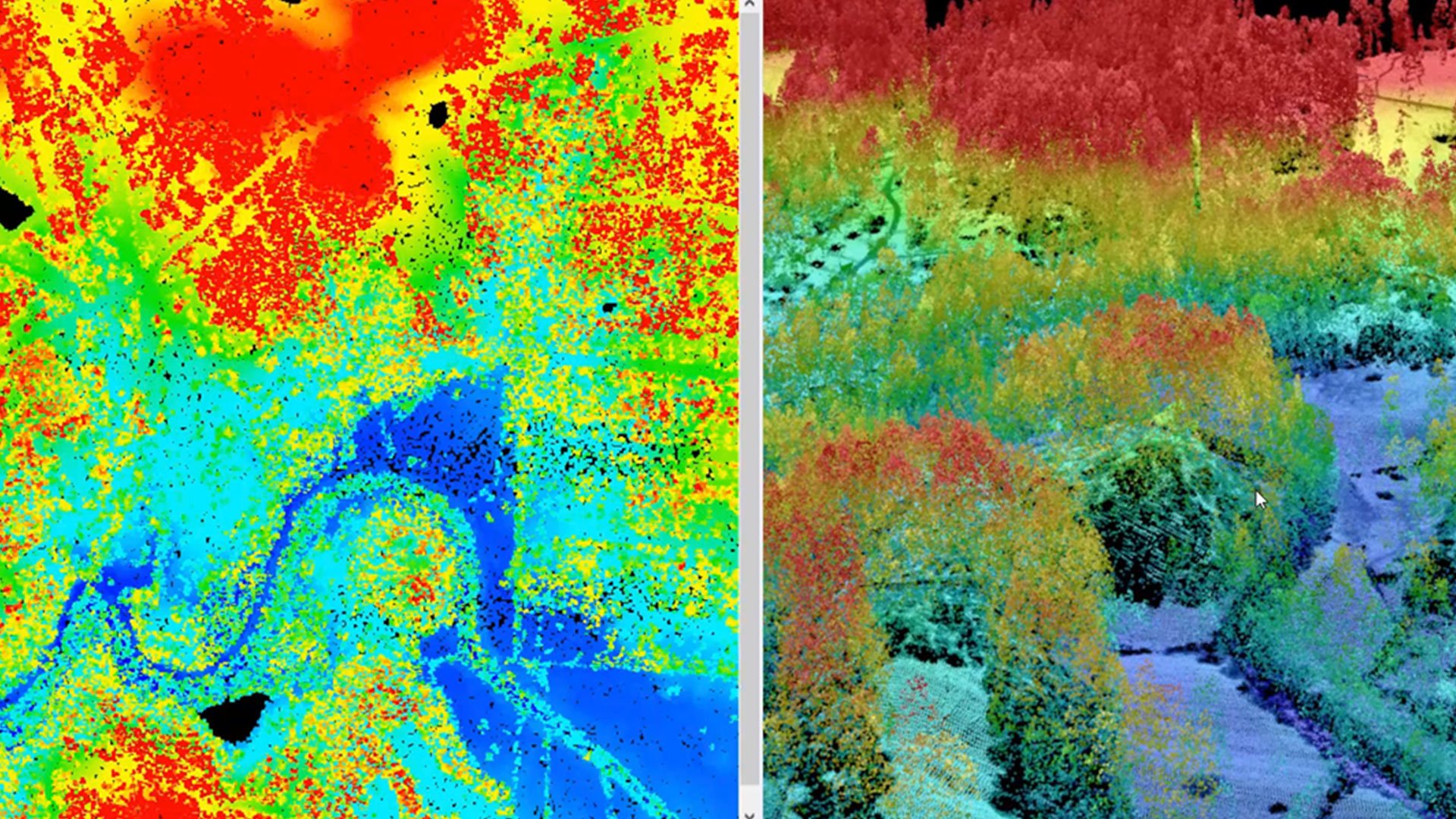
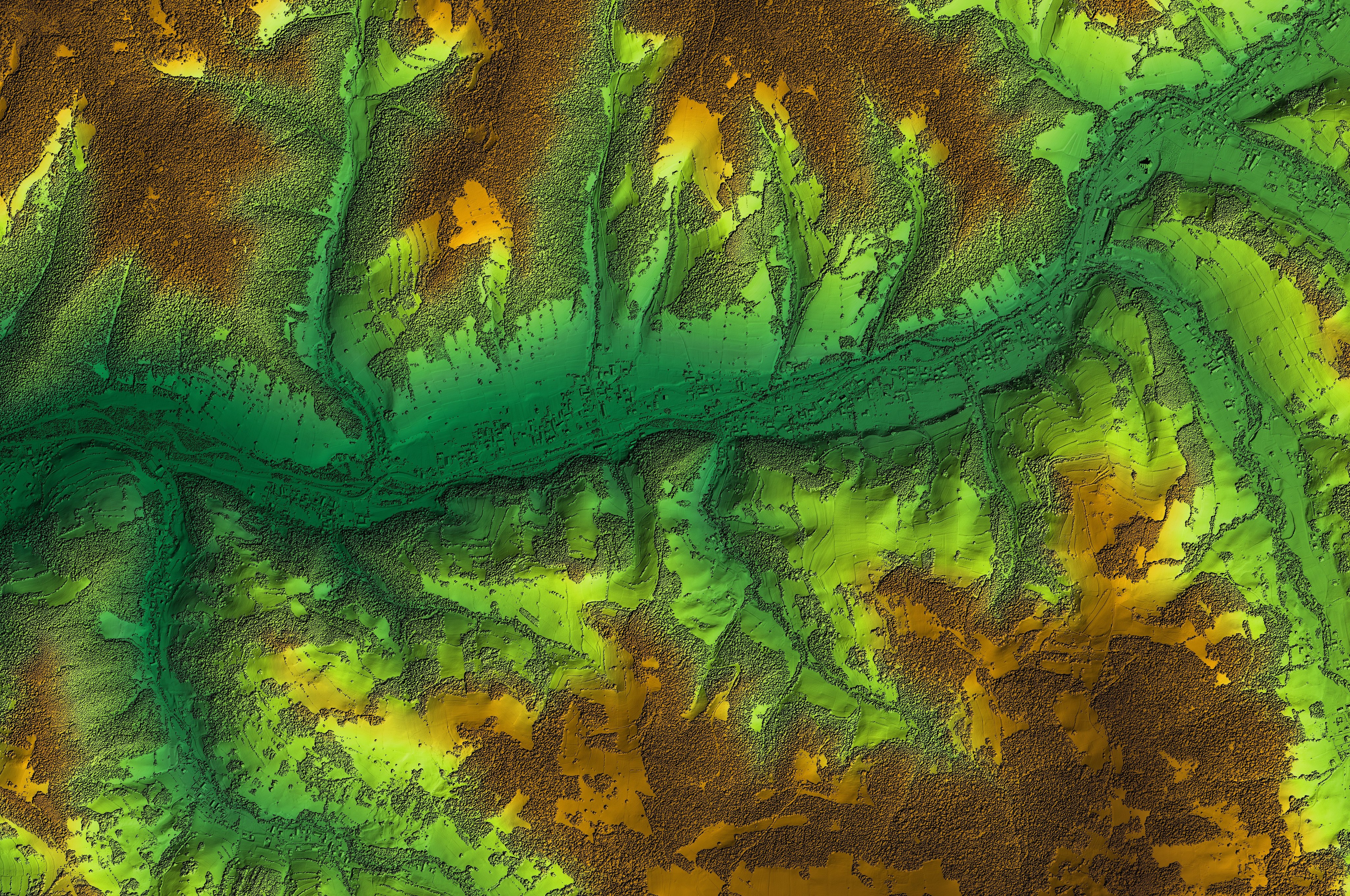
Unlock a versatile set of geospatial analysis tools designed for terrain analysis, surface modeling and immersive 3D visualization.
Efficient workflows
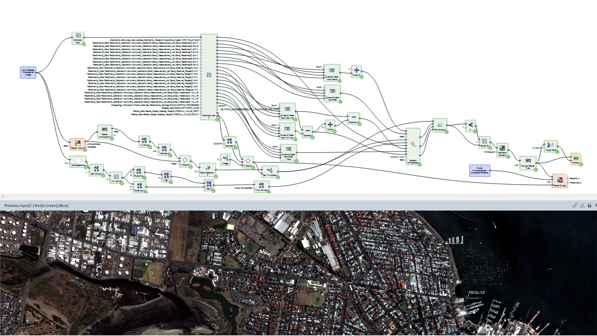
Enhance productivity and save time with the software's intuitive interface and automation capabilities, streamlining your workflows effortlessly.
Extensive support for diverse data formats
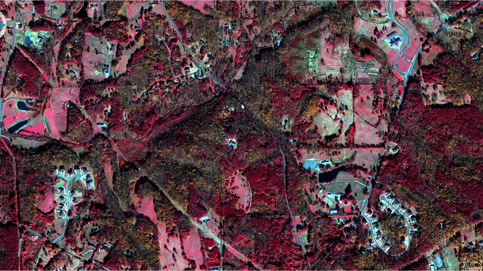
Work with a wide variety of data formats, including satellite imagery, aerial photography, LiDAR and more.

Active community and support
Benefit from a robust community of users and Octave's dedicated support team, offering invaluable resources and assistance.
Interoperability with other Octave products
Imagine integrates seamlessly with other Octave geospatial products, delivering a comprehensive and efficient geospatial workflow.
Extend Imagine with Add-ons
Tailor Imagine to your workflows with proven add-ons. From high-accuracy photogrammetry and dense surface extraction to radar analytics, 3D visualization and lowcode automation, each module plugs in seamlessly so you deliver results faster; without switching tools or rebuilding data flows.
Imagine Photogrammetry Ofrece triangulación rápida y precisa, y resultados ortorrectificados limpios para las imágenes.
Imagina el objetivo identifica y extrae automáticamente características como edificios, carreteras y vegetación de tus imágenes.
Imagine SAR Interferometry Extrae datos precisos de elevación y movimiento de la superficie a partir de imágenes de radar multitemporales.
Imagina la extracción de características SAR Obtiene automáticamente características e información de tus datos de radar.
Imagine DSM Extractor Produce DSM y DTM densos y precisos con verificaciones e informes automatizados.
Imagina los codificadores MrSID Comprime archivos de imágenes de gran tamaño en formatos MrSID de alta calidad para una visualización rápida y un almacenamiento eficiente.
El Imagine Expansion Pack incorpora vistas en 3D, herramientas NITF, captura estéreo, registro y procesamiento de datos de radar.
Imagine Terrain Editor ofrece herramientas interactivas para editar y perfeccionar modelos digitales de elevación directamente en un entorno 3D.
Spatial Modeler SDK Amplía Imagine con operadores personalizados, automatización y modelado impulsado por IA.
ATCOR workflow for Imagine corrects atmospheric effects and haze to reveal true surface reflectance in satellite imagery.
Imagine Engine aumenta la potencia de procesamiento al distribuir las tareas más exigentes entre varios núcleos y estaciones de trabajo.
Client success stories
Evolve your enterprise
We're here to help
Get the help you need with direct access to support and resources.