Octave GeoCompressor
Formerly GeoCompressor, this high‑performance geospatial image and point cloud compression technology handles massive datasets without sacrificing quality or speed.
High-performance compression
Built to handle massive geospatial imagery
GeoCompressor helps organizations manage the growing size of geospatial imagery and point cloud data. It turns thousands of high‑resolution files into optimized, compressed outputs that are easier to distribute and faster to use. By focusing specifically on mosaicking and compression, GeoCompressor fits neatly into existing workflows and helps data reach users faster.
Large‑scale data compression
GeoCompressor focuses on one task: turning immense geospatial imagery and point cloud datasets into efficient, easy‑to‑use outputs. Its features are designed to handle extreme data sizes, simplify delivery and fit into existing processing workflows without adding unnecessary complexity.

Easy compression of massive imagery datasets
GeoCompressor reduces the size of very large geospatial images while keeping them visually usable for viewing, sharing and delivery.

Intuitive creation of large image mosaics
GeoCompressor facilitates the combination of thousands of individual image files into a single, optimized mosaic that is easier to manage and distribute.
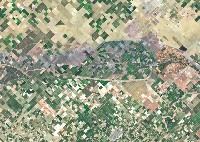
Effortless existing mosaic updates
GeoCompressor enables users to update specific areas within an existing mosaic without rebuilding the entire dataset from scratch.

Optimized data for fast access
GeoCompressor produces compressed outputs that are ready to display and use, without requiring additional tiling or cache generation.
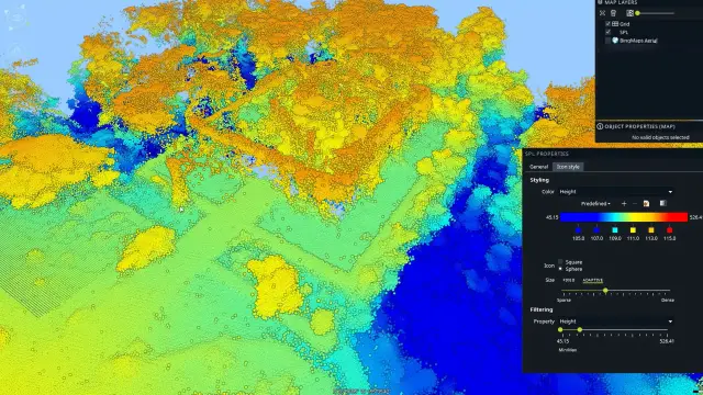
Lightweight point cloud compression
GeoCompressor easily compresses large point cloud datasets into efficient formats that are easier to store, distribute and use across systems.

Seamless workflow integration
GeoCompressor can be used as a dedicated compression step that complements other geospatial processing tools rather than replacing them.
GeoCompressor in action

We're here to help
Get the help you need with direct access to support and resources.