Octave GeoMedia portfolio
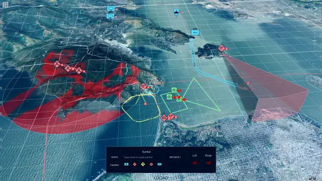
Formerly GeoMedia, this family of geospatial solutions spans photogrammetry, GIS analysis, web-based information sharing and operational workflows.
From deep analysis to shared insight: One connected workflow
From specialized tools to organizationwide access
With GeoMedia, GIS specialists can perform deep analysis and share results with non-GIS users through WebGIS software. Instead of keeping insights locked in desktop tools, organizations can deliver interactive maps and data to planners, operators and decision-makers across devices, without adding complexity to their workflows.

Powerful features for modern spatial workflows
GeoMedia provides a flexible, interoperable environment designed to handle every stage of your geospatial data lifecycle. From processing imagery with photogrammetry to publishing real-time spatial web apps, easily connect systems and make data accessible across your organization.
Comprehensive data and imagery integration
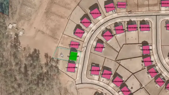
GeoMedia allows you to connect to geospatial data, databases and imagery sources without complex conversions.
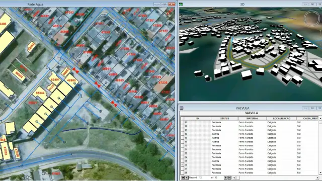
Advanced spatial analysis tools
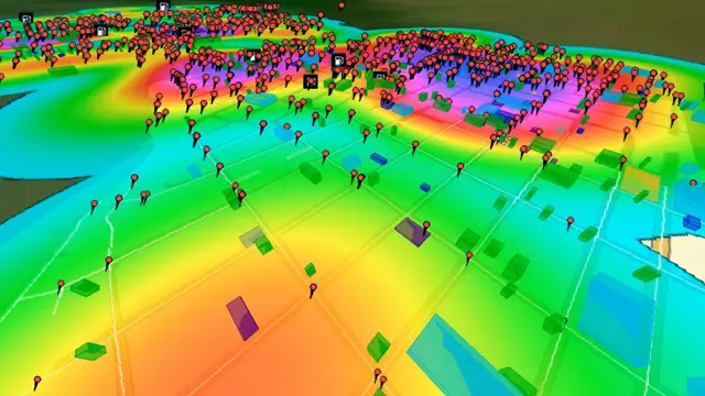
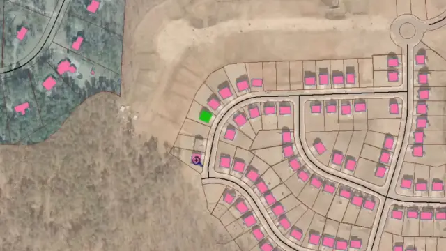
GeoMedia lets you analyze relationships, networks and patterns using powerful desktop GIS workflows, turning complex data into clear, actionable insights for planning and operations.
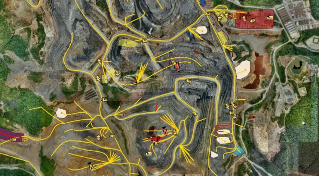
Dynamic real-time data updates
GeoMedia keeps workflows aligned with the latest validated data by instantly reflecting changes across systems, helping users make confident decisions without rework.
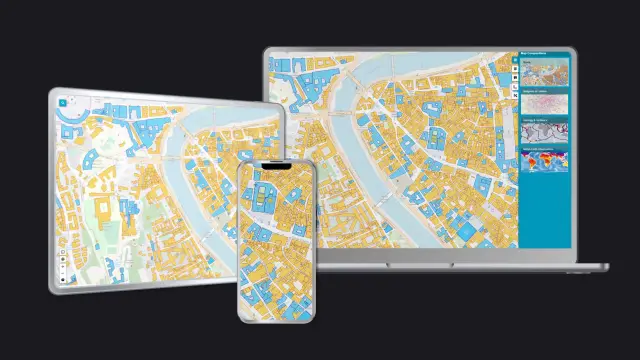
Flexible web publishing capabilities
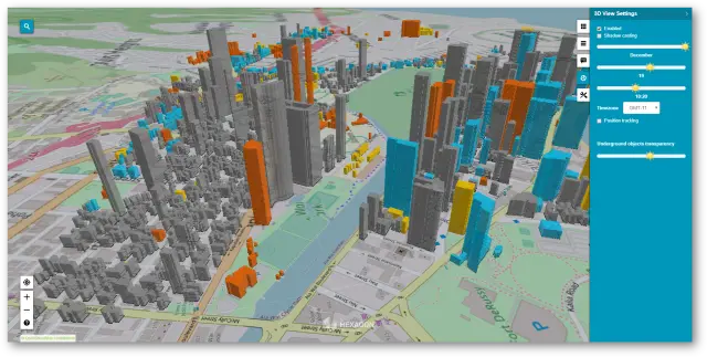
GeoMedia simplifies map and service publishing via WebGIS, allowing you to share results quickly across teams and devices without rebuilding data or duplicating outputs.
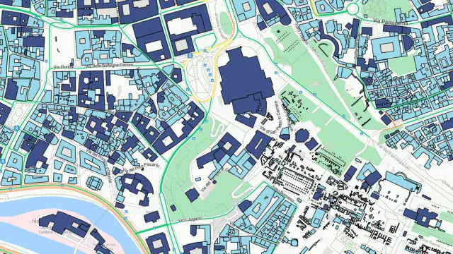
Accessible web-based GIS experiences
GeoMedia supports the creation of intuitive web apps that make geospatial data usable for non-GIS users, enabling broader access without the need for specialized tools or training.
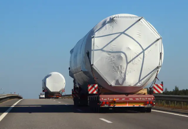
Specialized domain workflow extensions
GeoMedia extends core GIS workflows with solutions like routing, permitting and analysis, and you can adapt it to specific operational requirements as needed.
Explore the GeoMedia portfolio
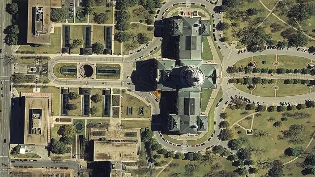
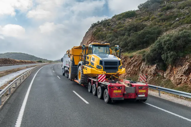
The GeoMedia portfolio is a family of geospatial solutions designed to support the complete workflow, from data creation and analysis to sharing and use. Octave ImageStation enables photogrammetry and mapping, Octave GeoMedia provides advanced GIS analysis and data management, WebGIS delivers information through intuitive web applications and Octave SafeHaul extends the portfolio with specialized transportation workflows.
GeoMedia portfolio in action

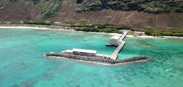
There are currently around 1.4 million kilometers of active submarine cable laid in the ocean. We estimate that MakaiLay has been used to install roughly 1 million kilometers of that.
There are currently around 1.4 million kilometers of active submarine cable laid in the ocean. We estimate that MakaiLay has been used to install roughly 1 million kilometers of that.
Explore GeoMedia
We're here to help
Get the help you need with direct access to support and resources.